Areas of Sidcup
Discover the neighbourhoods and villages of Sidcup, Greater London.
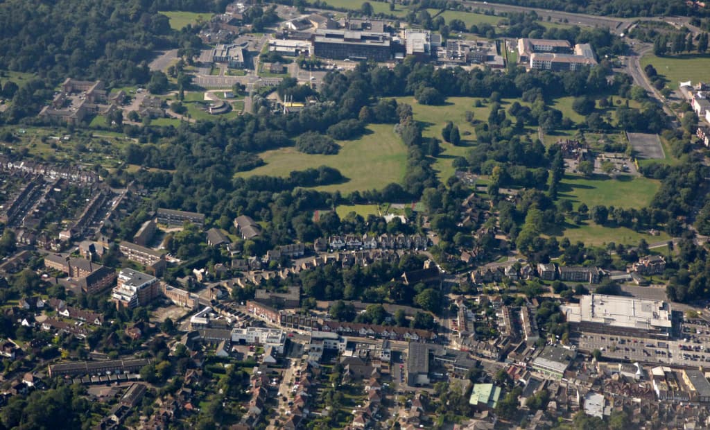
The commercial heart of Sidcup, built around the High Street and Station Road, with Sidcup station, the Storyteller cinema and library, and a broad mix of shops, cafes and restaurants.
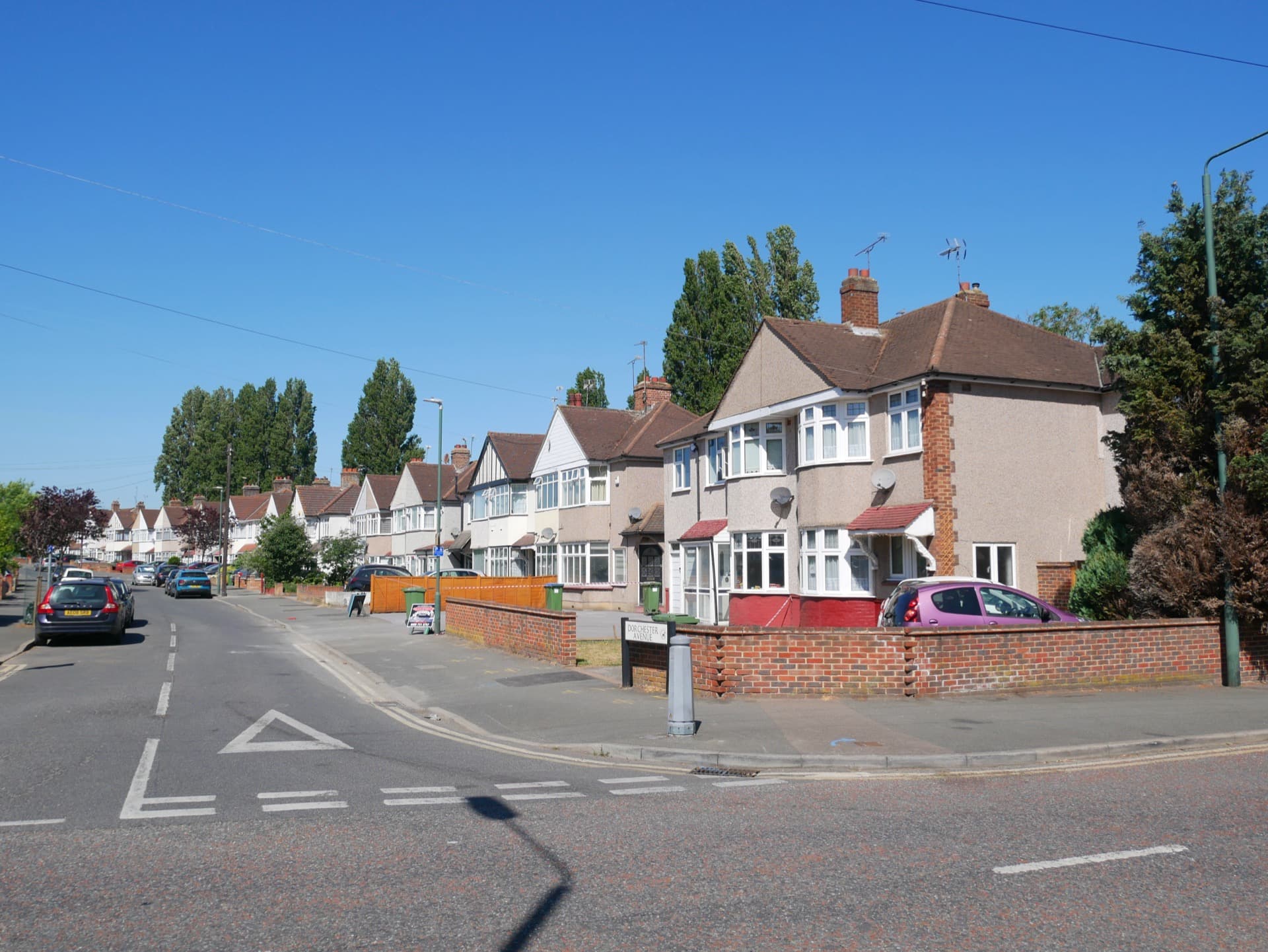
A 1930s residential suburb immediately north of Sidcup, with everyday shops along Blackfen Road and easy access to Danson Park.
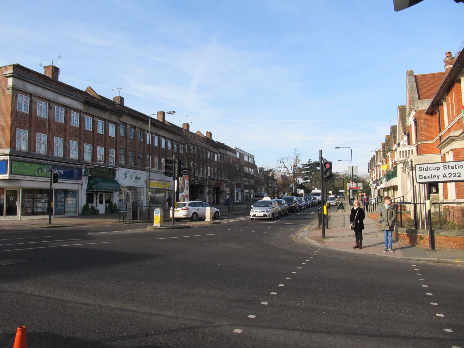
A district on the south side of Sidcup along the River Cray, home to Foots Cray Meadows, the Five Arches bridge, and one of Bexley’s recycling centres.
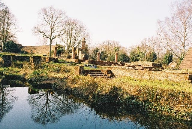
A small semi-rural district on the eastern edge of Sidcup along the River Cray, adjoining Foots Cray Meadows with woodland and riverside footpaths.
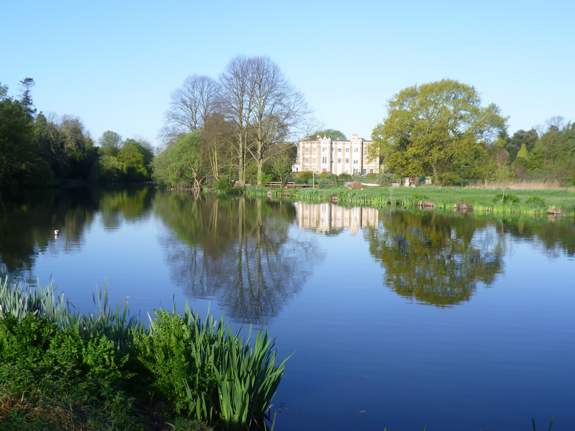
A leafy residential district west of Sidcup centred on Lamorbey House and its lakeside park — home to Rose Bruford College of theatre and performance.
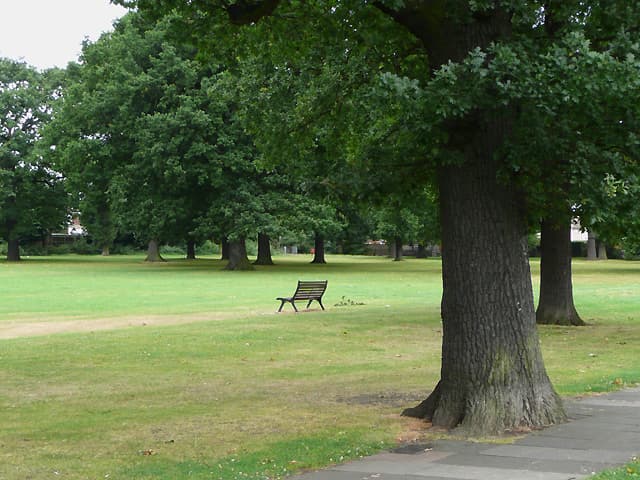
A settled residential district between Sidcup and New Eltham, with Longlands Recreation Ground and allotments, within reach of two railway stations.
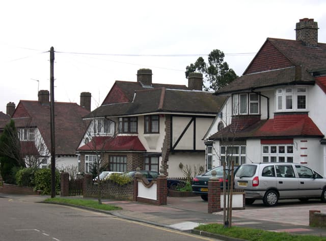
A 1930s commuter suburb on the eastern side of Sidcup built around Albany Park railway station on the Dartford loop line.
A residential district on the western edge of Sidcup, on the Bexley–Greenwich boundary, built around New Eltham railway station with its own parade of shops.
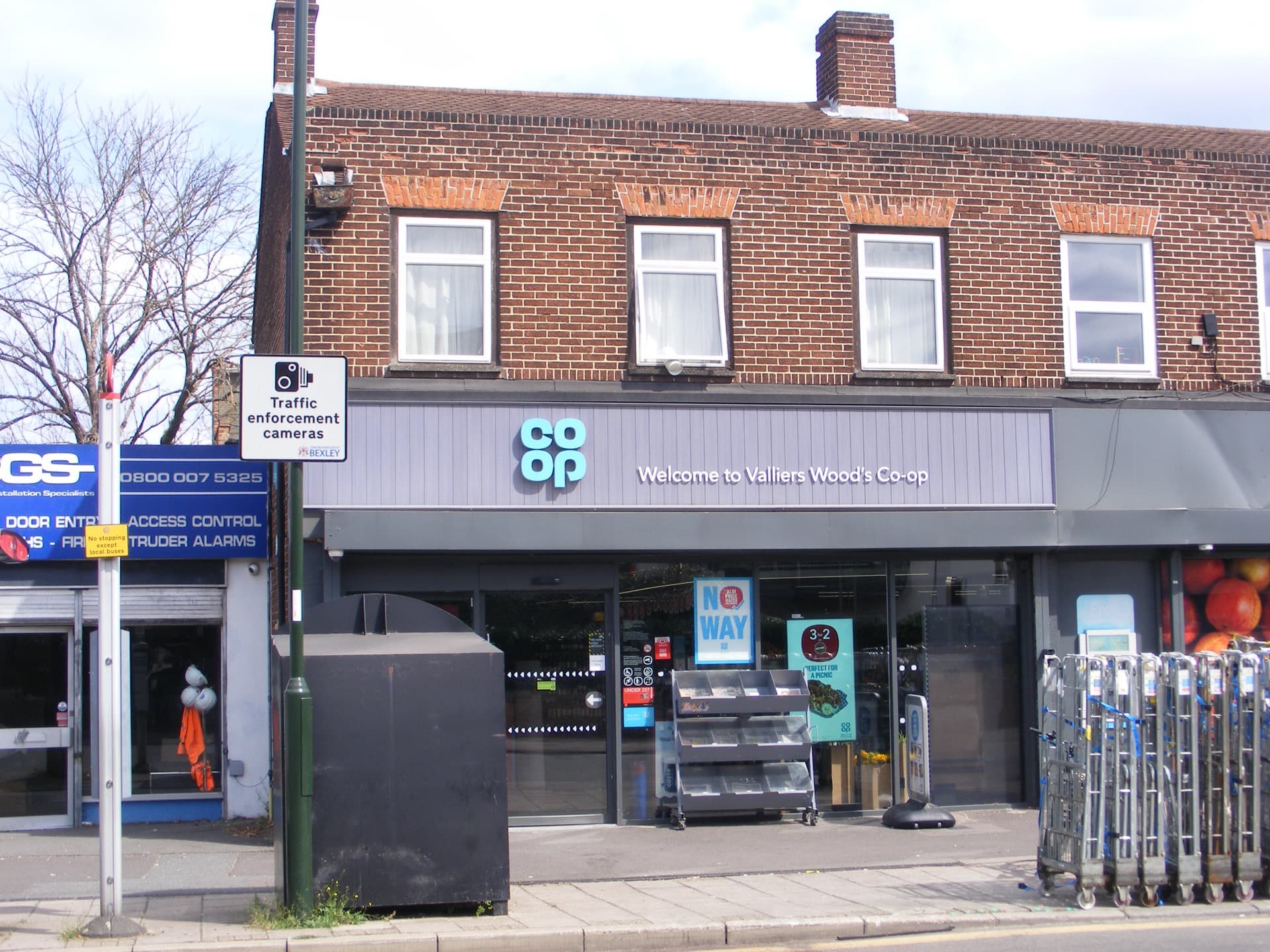
A quiet residential area between Sidcup town centre and Blackfen, named after the road running through it, with a Co-op and local shops.
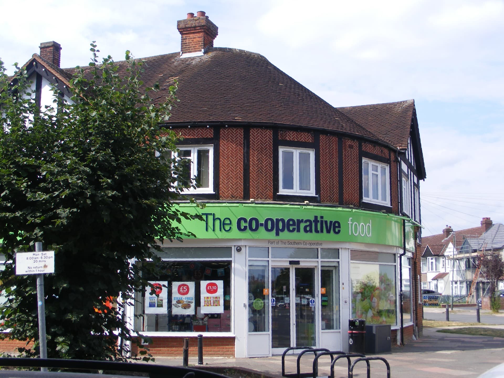
A residential neighbourhood just north of Sidcup town centre, arranged around an oval road and green, with a Co-op and local shops close to the station.